For the trail · alpventurer.com/lybeniq-canyon
Lybeniq, a great unexplored Canyon in western Kosovo
Lybeniq · Kosovo
- Difficulty
- Moderate
- Water
- No water source; take around 2 liters
- Parking
- Free
In short
Lybeniq Canyon is a moderate, unsigned 5 km hike near the village of Lybeniq, south of Peja in western Kosovo. The route gains 375 m and reaches 970 m. There is no water source on the trail, so take around 2 liters.
The route
- Distance
- 5.0 km
- Ascent
- +375 m
- Descent
- −312 m
- High point
- 970 m
- Lowest point
- 663 m
A Lybeniq: 42.58365, 20.30198B Finish: 42.60131, 20.28465▲ High point: 42.60268, 20.27221
Walking time, without breaks
- Relaxed3 h 5 min
- Average2 h 30 min
- Fast2 h
How steep
- Under 8% 2.9 km
- 8 to 15% 1.1 km
- 15 to 25% 0.9 km
- Over 25% 0.7 km
In two parts
- Up to the high point 3.9 km · +287 m
- Down to the finish 1.6 km · −312 m
What to pack
Every hike
- Water: about 1 litres (half a litre an hour), all of it: no water on the way
- Food and snacks for the day
- Rain jacket
- A warm layer (fleece or light down)
- Sun cap, sunglasses and sun cream
- Boots or trail shoes with good grip
- Phone with the map offline, and a power bank
- Small first aid kit
- Headlamp, in case it gets late
- Some cash and your ID
The guide
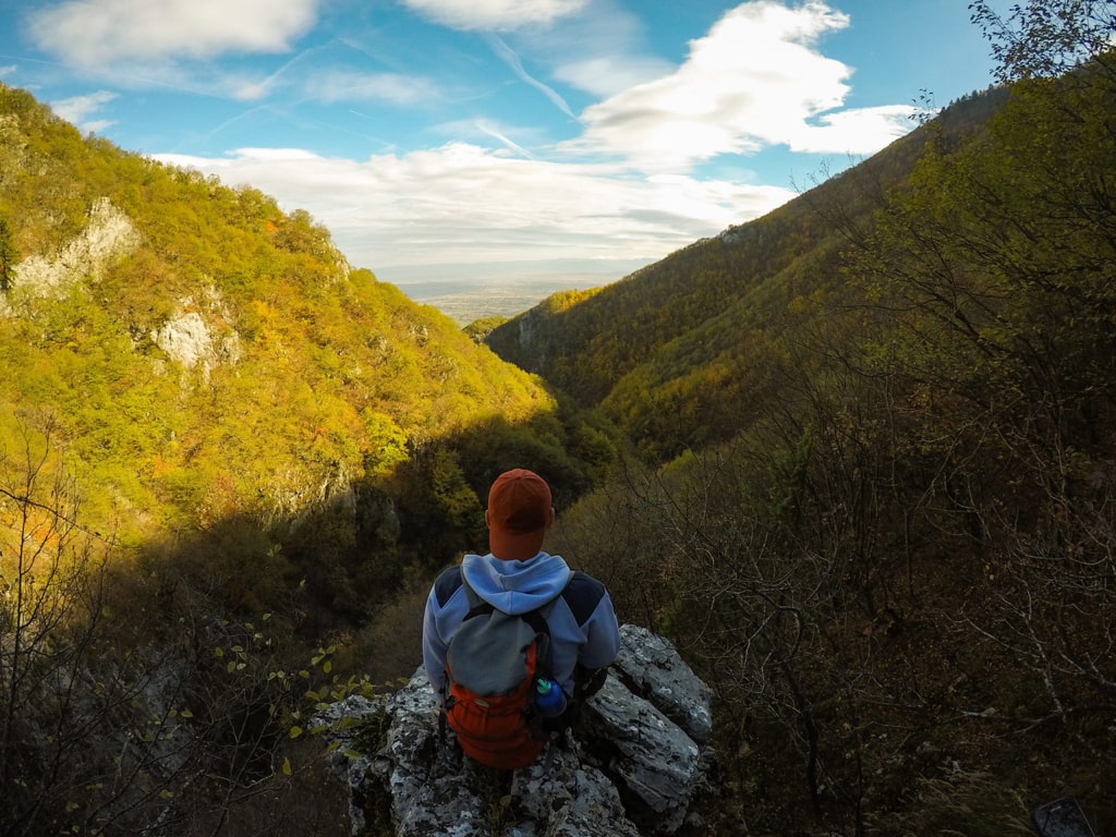
Lybeniq is a very unexplored destination in the west part of Kosovo. In Lybeniq is located a very beautiful Canyon, called Lybeniq Canyon. There you can hike and climb as well, through that Canyon.
How to get there
Lybeniq is located near the village called Strellc i Epërm and 9 km in the south of Peja. If you want to go there, first you need to go to the city of Peja and then head south to Deçan. After 9 km, you will see a sign to turn right to Lybeniq. If you are traveling from Decan, the distance to this turn is around 7.2 km, and after 7.2 km turn left. There isn’t any supermarket in the village, therefore, the last supermarkets are in Decan or Peja.
Then, you need to follow the paved road to the primary school of the village, where you can park the car and start the hike.
About the Lybeniq Canyon Hike
This hike is a moderate one, and not signed. First of all, you have to pass the primary school of Lybeniq, then get into the forest, where is a sheep path which you can follow. You will go through the forests, and it looks like a real jungle. In some parts, there are some big rocks, where you need to use hands, and for your safety, ropes as well. So, this destination is great for climbing too.
As an unexplored outdoor destination, this is a perfect spot for outdoor enthusiasts who are willing to explore the deepest parts of Kosovo.
There isn’t any water source, therefore you need to take around 2 liters of water. The total distance is around 5 km.
Points of interest:
Starting point: Lybeniq, Kosovo
Starting altitude: 663 m/alt
Highest altitude: 970 m/alt
Elevation gain: 375 m/alt