For the trail · alpventurer.com/gramos-mountain
Gramos, the highest peak in southern Albania 2’524 m/alt
Gramos · Albania
- Time
- 2–3 h
- Difficulty
- Moderate
- Season
- All year; winter recommended
- Water
- Two water sources; carry around 1.5 litres
- Parking
- Free
In short
Çuka e Peçit is a 2,523 m summit in the Gramos Mountains, reached on a 14.5 km hike from Starje, Albania. The hike is easy to moderate, and it takes around 2-3 hours to reach the top. There are two water sources; carry around 1.5 litres. The post recommends climbing in winter.
The route
- Distance
- 14.5 km
- Ascent
- +1,285 m
- Descent
- −1,297 m
- High point
- 2,523 m
- Lowest point
- 1,240 m
A Starje: 40.35889, 20.71984▲ Çuka e Peçit: 40.34819, 20.77939
Walking time, without breaks
- Relaxed10 h 50 min
- Average8 h 40 min
- Fast6 h 55 min
How steep
- Under 8% 1.5 km
- 8 to 15% 3.7 km
- 15 to 25% 4.7 km
- Over 25% 3.8 km
In two parts
- Up to Çuka e Peçit 7.0 km · +1,294 m
- Back down to Starje 6.6 km · −1,283 m
What to pack
Every hike
- Water: about 3 litres (half a litre an hour)
- Rain jacket
- A warm layer (fleece or light down)
- Sun cap, sunglasses and sun cream
- Boots or trail shoes with good grip
- Phone with the map offline, and a power bank
- Small first aid kit
- Headlamp, in case it gets late
- Some cash and your ID
For the summit
- Hat and gloves: it is colder and windier at the top
- Walking poles, for the way down
For a long day
- Lunch, and a snack for every two hours
- Salty snacks or electrolytes
- Blister plasters
Snow and ice
- Microspikes or crampons, as the snow needs
- Gaiters
- Insulated jacket and spare gloves
- A hot drink in a flask
- Check the avalanche bulletin before you go
The guide
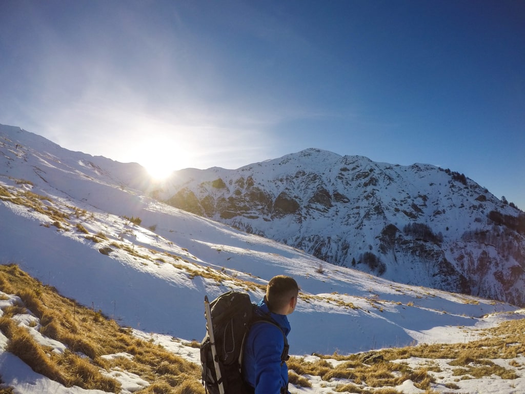
Gramos (Gramoz) Mountain which is located in the border between Albania and Greece is the highest mountain in southern Albania, it is an easy to moderate hike.
How to get there
The starting point for this hike is a village called Starje. This village is around 5 km from the Ersekë, the nearest town where you can sleep and can find supermarkets. The fastest way to go to Erseka from Tirana is through Elbasan, Pogradec and then Korça. Finally, you arrive in Erseka. It takes around 4 hours to arrive from Tirana to Erseka (200 km). Going from Erseka to Starje takes around 10 minutes by car or an hour of walking. People in Starje and Ersekë are very friendly and you can park the car at the Starje school, it’s safe.
About the Gramos Mountain hike
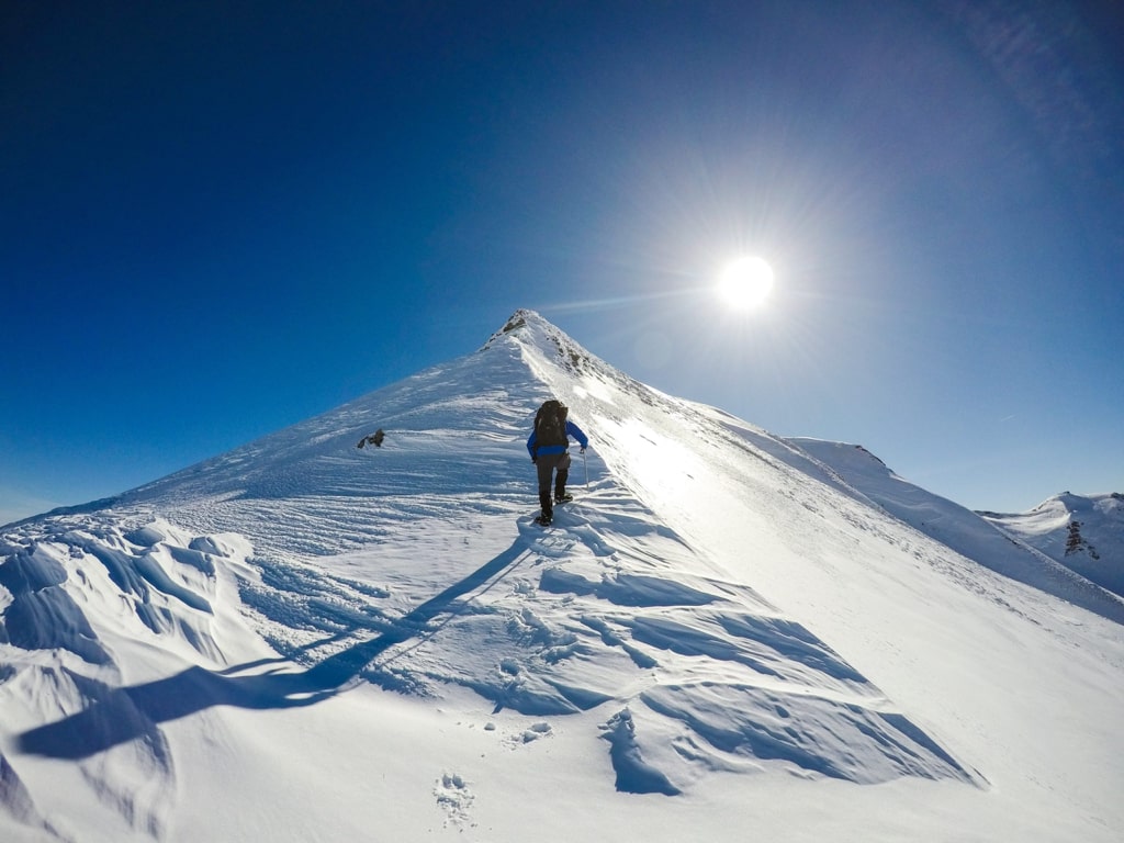
This hike is easy to moderate one, therefore, the peak called Çuka e Peçit is reachable all the year. During the summertime the path is easy to follow, you just follow the signs. In contrast, during the winter I would suggest following the route on the map or using the GPX because it’s a little bit harder to follow. The last hill of the trail, in winter, is dangerous. As a result, it’s better to use crampons and the ice axe.
There are some shepherd houses on 2’000 m/alt.
The starting point elevation is 1’234 m/alt, it takes around 2-3 hours to reach the highest peak of this mountain, Çuka e Peçit 2’524 m/alt. I would suggest climbing this mountain in the winter because it is even more beautiful. The terrain is meadowy, and in some places rocky. The distance is 14.47 km.
There are two water sources, so you may need around 1.5 liters of water.
Another way to climb the Gramos mountain is from Greece.
Points of interest:
Starting point: Starje, Albania
Starting altitude: 1’234 m/alt
Highest altitude: 2’523 m/alt
Elevation gain: 1’285 m/alt