For the trail · alpventurer.com/gjeravica
Journey to the Majestic Heights of Gjeravica Peak: Exploring the Winter and Summer Trails
Journey to the Majestic Heights of Gjera… · Kosovo
- Time
- 7 h
- Season
- Winter and summer
- Parking
- Free
In short
Gjeravica Peak is in Kosovo, with winter and summer hiking routes from the Junik or Deçan side. The hike details list a distance of 12.9 km, 7 h, +966 m of ascent and a high point of 2,610 m. The guide describes different trail conditions in each season.
The route: Summer route
- Distance
- 12.9 km
- Ascent
- +966 m
- Descent
- −974 m
- High point
- 2,610 m
- Lowest point
- 1,697 m
A Gropa e Erenikut: 42.51939, 20.16389▲ High point: 42.53286, 20.14069
Walking time, without breaks
- Relaxed8 h 30 min
- Average6 h 45 min
- Fast5 h 25 min
How steep
- Under 8% 2.1 km
- 8 to 15% 2.5 km
- 15 to 25% 5.3 km
- Over 25% 1.7 km
In two parts
- Up to the high point 5.6 km · +904 m
- Back down to Gropa e Erenikut 5.9 km · −954 m
The route: Winter route
- Distance
- 17.3 km
- Ascent
- +1,256 m
- Descent
- −1,226 m
- High point
- 2,611 m
- Lowest point
- 1,396 m
A Gropa e Erenikut: 42.51825, 20.20463▲ High point: 42.53285, 20.14068
Walking time, without breaks
- Relaxed11 h
- Average8 h 50 min
- Fast7 h
How steep
- Under 8% 9.2 km
- 8 to 15% 3.7 km
- 15 to 25% 0.7 km
- Over 25% 3.7 km
In two parts
- Up to the high point 8.4 km · +1,235 m
- Back down to Gropa e Erenikut 8.9 km · −1,204 m
What to pack
Every hike
- Water: about 2.5 litres (half a litre an hour)
- Food and snacks for the day
- Rain jacket
- A warm layer (fleece or light down)
- Sun cap, sunglasses and sun cream
- Boots or trail shoes with good grip
- Phone with the map offline, and a power bank
- Small first aid kit
- Headlamp, in case it gets late
- Some cash and your ID
For the summit
- Hat and gloves: it is colder and windier at the top
- Walking poles, for the way down
Snow and ice
- Microspikes or crampons, as the snow needs
- Gaiters
- Insulated jacket and spare gloves
- A hot drink in a flask
- Check the avalanche bulletin before you go
Water and sun
- Swimsuit and a quick-dry towel, if you fancy a dip
The guide
Gjeravica Peak stands as a testament to the grandeur of nature, drawing adventurers from near and far to conquer its majestic heights. Located in the breathtaking landscapes of Kosovo, this remarkable peak offers two distinct trails—one for the frost-laden embrace of winter and the other for the vibrant beauty of summer. Let’s discover the allure of Gjeravica Peak in both seasons.
How to get there
To reach Gjeravica Peak, you have two main starting points—Junik and Deçan. From Junik, follow the unpaved road to Gropa e Erenikut, a total distance of 15 km (a 4×4 vehicle is necessary). If you opt for the Deçan route, navigate the road to Deçan Monastery and continue to Deçan Valley, where the unpaved road begins. Note that a 4×4 vehicle is necessary for the last stretch, covering around 17 km. At the end of the road, you’ll find mountain huts where you can park your car and prepare for the hike.
About the hike to Gjeravica peak

Winter casts a magical spell over Gjeravica Peak, transforming it into a snowy wonderland that beckons intrepid hikers. The Junik winter trail is the gateway to this frost-kissed paradise. As you navigate through the snow-covered ridge, the trail presents a thrilling challenge that rewards with breathtaking panoramas at every turn. Brace yourself for an arduous but awe-inspiring journey as you ascend to the peak, surrounded by pristine white landscapes. The technical details of this trail include a distance of 17.84 km, an elevation gain of 1,358 m, and a difficulty rating of “Difficult.”
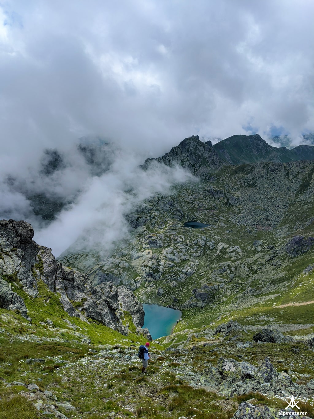
As summer awakens the mountains, Gjeravica Peak unveils a different kind of beauty. The path leads you through picturesque landscapes with blooming wildflowers and verdant meadows. Make your way to Gropa e Erenikut and Gjeravica Lake, where tranquility and serenity await. From there, ascend to the summit, soaking in the panoramic views that stretch as far as the eye can see. The technical details of this trail include a distance of 14.82 km, an elevation gain of 977 m, and a difficulty rating of “Moderate.”