For the trail · alpventurer.com/dragobi
Dragobi, the village into the Accursed Mountains
Dragobi · Albania
- Difficulty
- Hard
- Water
- Last source by the forest and river, around 5 km from the start; carry 2–3 litres
- Parking
- Free
In short
This hard hike starts in Dragobi, Albania, and follows a 21 km route to a ridge at 2,145 m, with 1,750 m of ascent. The last water source is by the forest and river, around 5 km from the start. Carry 2-3 liters for the hike.
The route: Wikiloc - Gavni peak (Failed)
- Distance
- 21.0 km
- Ascent
- +1,750 m
- Descent
- −1,737 m
- High point
- 2,145 m
- Lowest point
- 585 m
A Dragobi: 42.43056, 19.97121▲ High point: 42.39137, 19.94090
Walking time, without breaks
- Relaxed14 h 55 min
- Average11 h 55 min
- Fast9 h 35 min
How steep
- Under 8% 3.5 km
- 8 to 15% 4.5 km
- 15 to 25% 6.7 km
- Over 25% 4.2 km
In two parts
- Up to the high point 8.6 km · +1,563 m
- Back down to ridge 10.4 km · −1,717 m
The route: Wikiloc - Gavni peak (Failed)
- Distance
- 18.9 km
- Ascent
- +1,722 m
- Descent
- −1,737 m
- High point
- 2,142 m
- Lowest point
- 585 m
A Dragobi: 42.43056, 19.97121▲ High point: 42.39137, 19.94090
Walking time, without breaks
- Relaxed14 h 30 min
- Average11 h 35 min
- Fast9 h 15 min
How steep
- Under 8% 3.5 km
- 8 to 15% 4.5 km
- 15 to 25% 6.7 km
- Over 25% 4.2 km
In two parts
- Up to the high point 8.6 km · +1,563 m
- Back down to ridge 10.4 km · −1,717 m
What to pack
Every hike
- Water: about 4 litres (half a litre an hour)
- Rain jacket
- A warm layer (fleece or light down)
- Sun cap, sunglasses and sun cream
- Boots or trail shoes with good grip
- Phone with the map offline, and a power bank
- Small first aid kit
- Headlamp, in case it gets late
- Some cash and your ID
For the summit
- Hat and gloves: it is colder and windier at the top
- Walking poles, for the way down
For a long day
- Lunch, and a snack for every two hours
- Salty snacks or electrolytes
- Blister plasters
The guide
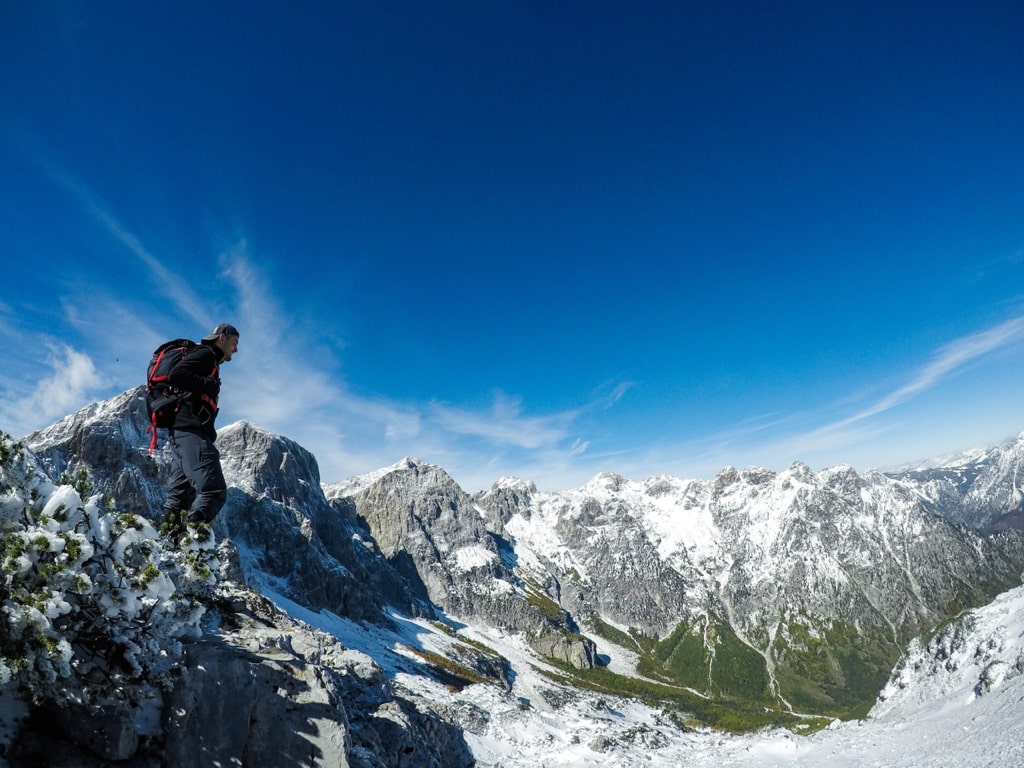
Dragobi is a very beautiful village surrounded by mountains in Northern Albania. Dragobi is well known for its gorge called Gryka E Dragobisë. From Dragobi you can reach some of the peaks of the Accursed Mountains. For example Maja e Hekurave 2’561 m/alt, Maja e Gavnit 2’509 m/alt etc. We tried to reach Maja e Gavnit, but we couldn’t make it.
How to get there
Dragobi is 14 km from the city called Bajram Curri and 10 km from Valbona Valley. Reaching Bajram Curri from Tirana takes around four hours. The bus station in Tirana is in front of Asllan Rusi Sports Center.
Another way to reach Bajram Curri is from Prishtina, Kosovo. First, you go from Prishtina Main Bus Station to Gjakova Bus station and then from Gjakova take the bus to Bajram Curri.
Where to sleep and eat
In Dragobi there are several Guesthouses, which are cheap, traditional, cozy and they serve you very delicious food. You don’t need to book earlier for these Guesthouses.
About the hike in Dragobi
The hike starts in Dragobi village. First, you will go through a forest and a river, where you can find the last water source. This forest leads you to the mountain hut, and the distance is around 5 km. From the mountain hut, you will start ascending. When you reach the ridge, you may have two options. To the left, you have Maja e Hekurave, and to the right to Maja e Gavnit. We stopped our hike there. The view from the ridge, is the best view of this trail! Total distance until the ridge is around 21 km.
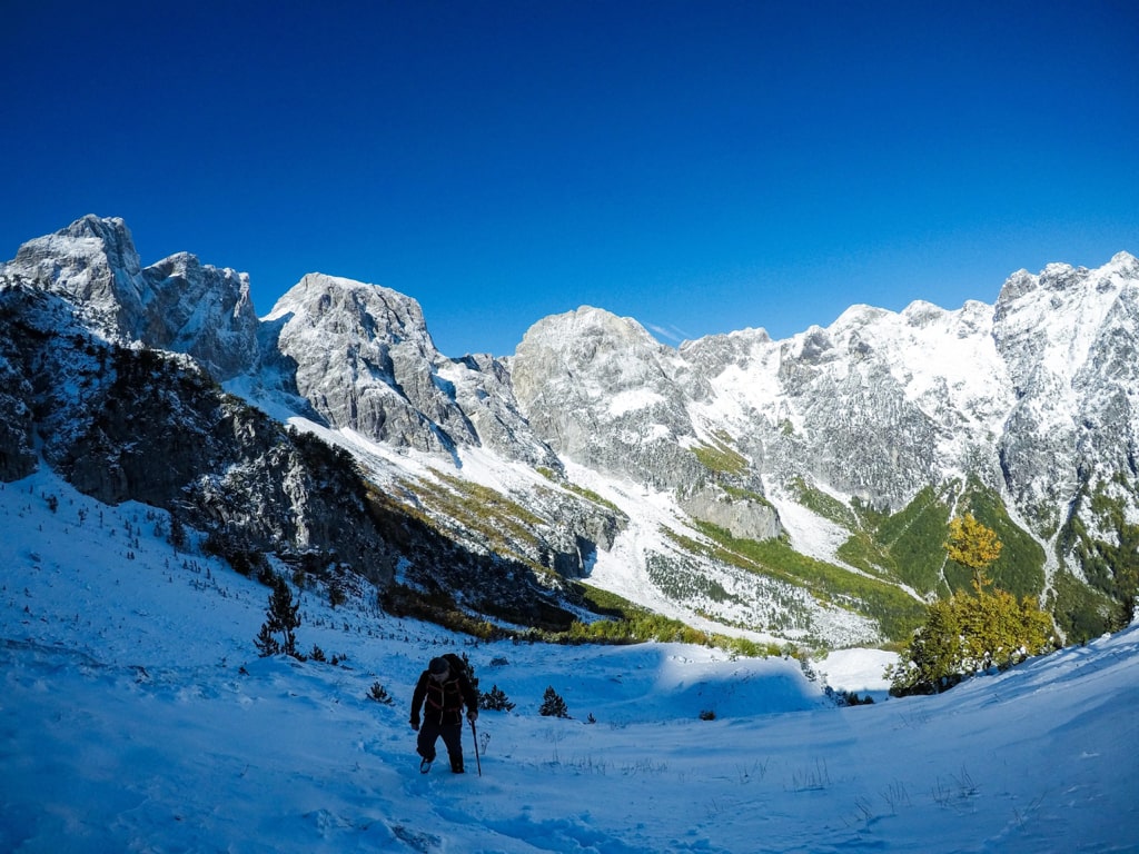
This hike is a difficult one, without any water source, therefore take around 2-3 liters of water.
Points of interest:
Starting point: Dragobi, Albania
Starting altitude: 583 m/alt
Highest altitude: 2’145 m/alt
Elevation gain: 1’750 m/alt
: