For the trail · alpventurer.com/aeolian-islands-hiking-lipari-vulcano-stromboli-panarea
Hiking and Island-Hopping in the Aeolian Islands
Hiking and Island-Hopping in the Aeolian… · Italy
- Season
- May–June or September–October
In short
The Aeolian Islands are a volcanic archipelago off Sicily, Italy. This guide covers island-hopping and hikes, including the Vulcano crater route: 6.75 km, 374 m of ascent and a high point of 398 m. The Vulcano hike is rated moderate; the suggested season is May, June, September or October.
What to pack
Every hike
- Water: half a litre for every hour of walking
- Food and snacks for the day
- Rain jacket
- A warm layer (fleece or light down)
- Sun cap, sunglasses and sun cream
- Boots or trail shoes with good grip
- Phone with the map offline, and a power bank
- Small first aid kit
- Headlamp, in case it gets late
- Some cash and your ID
Nights on the way
- Sleeping bag liner (a sleeping bag where the hut has none)
- Dry clothes for the evening
- Toothbrush, small towel and earplugs
- Cash for huts and guesthouses
- Your bookings
Water and sun
- Swimsuit and a quick-dry towel, if you fancy a dip
The guide
The Aeolian Islands rise like a broken necklace off the coast of Sicily — seven volcanic fragments shaped by fire and sea. Reaching them feels like a small adventure: from Catania to Messina, a quick hop to Milazzo, and finally a speedboat that cuts across open water toward Lipari, the largest island and perfect base for exploring the archipelago.
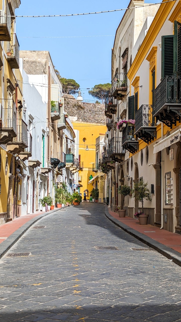
🌴 Lipari — Circling the Island
We stayed two days on Lipari, a blend of relaxed Mediterranean charm and rugged coastal beauty. The road circles the island, giving access to beaches, viewpoints, and small bars tucked between whitewashed houses.
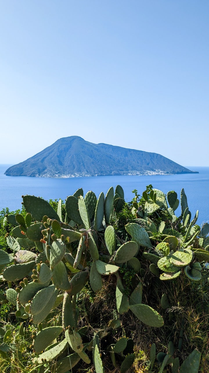
Highlights of the loop:
- Belvedere da Graziella – sweeping views over the Tyrrhenian Sea.
- Spiaggia del Gabbiano and Spiaggia Acquacalda – quiet beaches with turquoise water and pale volcanic cliffs.
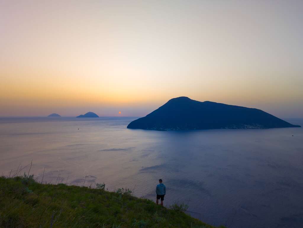
- Chiesa Vecchia di Quattropani – the perfect sunset point; the horizon glows red while the nearby islands fade into shadow.
- Eden Bar – classic Lipari: local wine (Aperol), sea breeze, and the kind of simplicity you remember later.
Lipari feels lived-in, not staged. You can swim, drive, or walk almost anywhere — it’s an island that still moves to its own rhythm.
🌋 Vulcano — The Island of Smoke
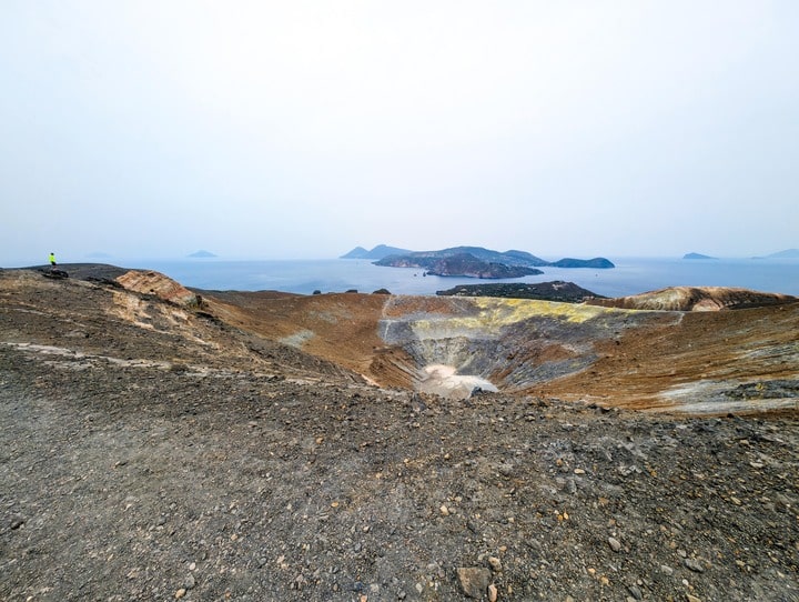
A short ferry from Lipari brings you to Vulcano, where the air smells faintly of sulfur and the ground hums with heat. The main trail climbs the crater — a hike that feels otherworldly from the first step.
Trail data:
- Distance: 6.75 km
- Elevation gain: 374 m
- Elevation loss: 369 m
- Max elevation: 398 m
- Difficulty: Moderate
- Type: One-way
The last stretch circles the rim, where steam seeps from vents and the view opens to the whole Aeolian chain — Lipari below, Stromboli in the distance, the sea shining like molten glass.
Descending as the light turns golden, the entire crater seems to breathe.
Vulcano from Vulcano Porto
- Distance
- 6.6 km
- Ascent
- +402 m
- Descent
- −390 m
- High point
- 395 m
- Lowest point
- 5 m
A Start: 38.41503, 14.96042▲ High point: 38.40323, 14.96539
Walking time, without breaks
- Relaxed3 h 40 min
- Average2 h 55 min
- Fast2 h 20 min
How steep
- Under 8% 2.8 km
- 8 to 15% 1.2 km
- 15 to 25% 2.3 km
- Over 25% 0.3 km
In two parts
- Up to the high point 3.6 km · +399 m
- Back down to the start 3.0 km · −387 m
🌑 Stromboli — Fire Under the Stars
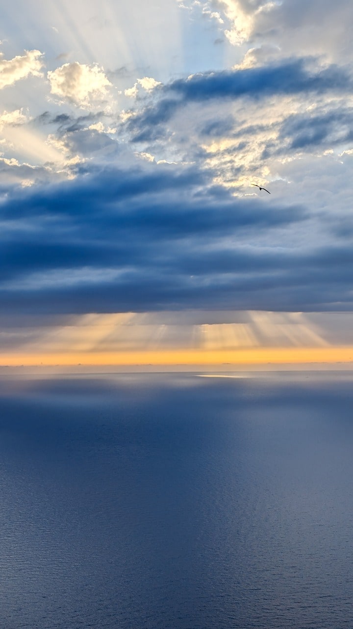
Stromboli is raw energy. The black sand, the sulfur scent, the constant pulse of the volcano — it feels alive in a way no other place does.
We hiked near sunset, climbing toward the active crater while the sky shifted from orange to violet. Every 15 minutes, a small eruption — flame and ash against the darkening sky. It’s humbling and hypnotic.
Trail data:
- Distance: 8.42 km
- Elevation gain/loss: 368 m
- Max elevation: 386 m
- Difficulty: Moderate
- Type: Loop
Later, we cooled our feet in the volcanic black sand beach, still warm from the day’s heat — a reminder that this island is literally alive beneath your feet.
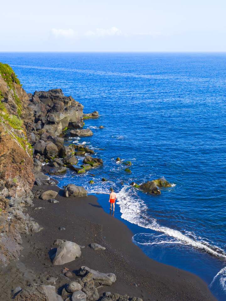
Stromboli
- Distance
- 8.1 km
- Ascent
- +371 m
- Descent
- −382 m
- High point
- 382 m
- Lowest point
- 16 m
A Start: 38.80608, 15.23233▲ High point: 38.80344, 15.21469
Walking time, without breaks
- Relaxed3 h 50 min
- Average3 h
- Fast2 h 25 min
How steep
- Under 8% 3.6 km
- 8 to 15% 3.8 km
- 15 to 25% 0.3 km
- Over 25% 0.4 km
In two parts
- Up to the high point 3.8 km · +369 m
- Back down to the start 4.3 km · −377 m
🌿 Panarea — The Small Gem
Panarea feels softer, greener, and more elegant than its volcanic siblings. It’s small enough to walk across, but full of surprises — fumaroles, quiet coves, and high ridges with sweeping sea views.
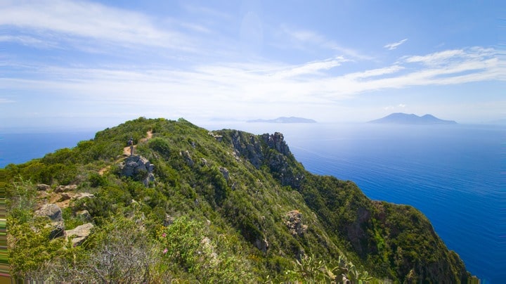
We hiked the island loop: Spiaggia Fumarole, Punta del Corvo, and Punta Cardosi — a mix of coastal paths and steep climbs through Mediterranean scrub.
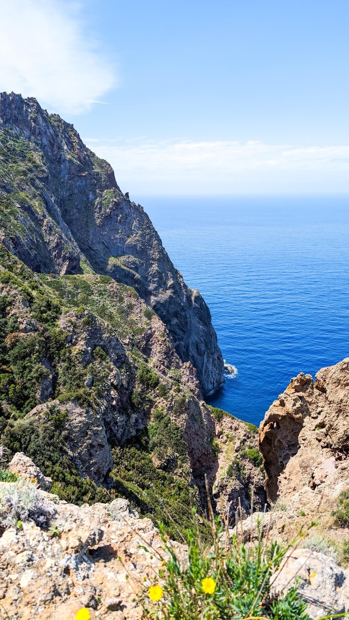
Trail data:
- Distance: 7.67 km
- Elevation gain/loss: 463 m
- Max elevation: 423 m
- Difficulty: Moderate
- Type: Loop
At the summit, you can see nearly the entire archipelago — a chain of dark peaks floating in a blue haze.
That night, strong waves kept us one extra day. It happens often here — ferries and small boats depend on the wind. The Aeolian Islands teach patience.
A Start: 38.63686, 15.07577▲ High point: 38.63811, 15.06351Panarea Island
Walking time, without breaks
How steep
In two parts
⚓ Practical Notes
- Best season: May–June or September–October.
- Access: Ferries and hydrofoils from Milazzo, Messina, or Naples.
- Transport: Scooters or small cars on Lipari; on the other islands, everything is walkable.
- Weather: Hot sun, little shade — start early, carry water.
- Shoes: Proper trail shoes (volcanic gravel is slippery).
- Local food to try: Capers from Salina, granita with brioche, fresh swordfish.
- Keep in mind: Ferry schedules often change with weather; always check return options in advance.
🌅 Reflections
Each Aeolian island feels like a different element:
Lipari – earth and sea.
Vulcano – fire and smoke.
Stromboli – darkness and light.
Panarea – calm and wind.
Together they form a living map of what the Mediterranean once was — wild, unpredictable, and deeply human.
The Aeolian Islands don’t just offer views; they remind you that nature isn’t a backdrop — it’s a force.